

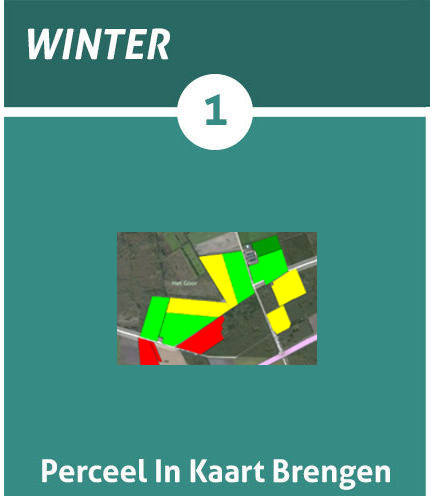
Step 1: Mapping Fields
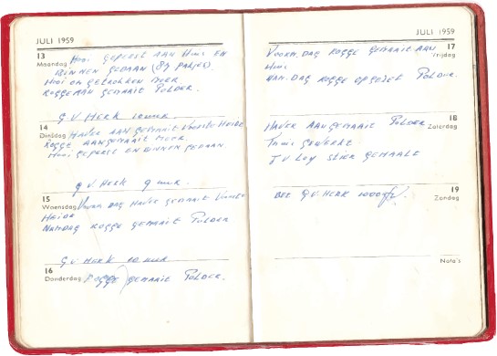
Back in the day when farms were even smaller and growers still knew the yield potential of each zone in a plot, many growers kept everything on a calendar so they could look back at what happened here the following year when they saw something remarkable in a crop. The red book of Van den Borne potatoes can be seen in the images below. It shows that Jacob's grandfather wrote down every day what he did and what he noticed. Because companies have grown bigger, this is almost impossible to do and it is hardly done anymore. By mapping the parcels on the basis of a management program, this booklet can again be kept in a digital and automated manner.
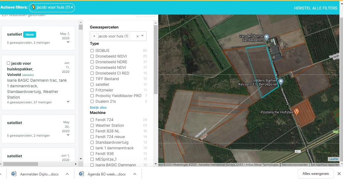
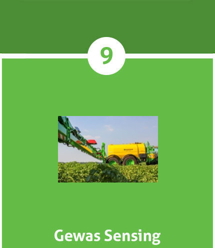
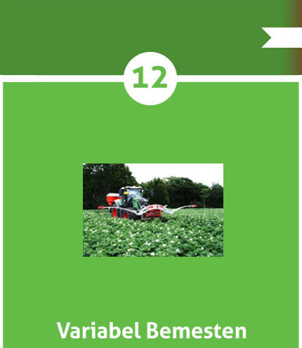
With management programs such as Dacom or agrovision, growers can map their fields and bundle all information about these fields. In addition, the program can also be used to send personnel to the correct plot and to plan the next work of the personnel. At Van den Borne potatoes, we use the Dacom management program with an additional Cloudfarm option. This gives us the opportunity to collect all locations, sizes, data, crop registration and work carried out from our plots. This information is also used to view what went wrong when something went wrong so that it can be prevented in the future. In addition, we can link our machines to Cloudfarm so that the data that the relevant machine delivers immediately appears in the Cloudfarm without having to be converted with a USB stick. Examples of this data are crop sensor maps, fuel consumption maps, yield maps and application maps. Because all performed scans can also be found in Cloudfarm, a task card for fertilizing or spraying a plot can be made immediately.


Social media
Bezoekers online: 18